In a significant stride for earth science, NASA, in collaboration with IBM and Forschungszentrum Jülich, has unveiled the enhanced Prithvi Geospatial AI model. This open-source model, now enriched with global data, promises to revolutionize the way we monitor environmental changes, predict crop yields, and manage natural disasters on a worldwide scale.
Developed initially in August 2023, the Prithvi Geospatial AI model was pre-trained using data from NASA’s Harmonized Landsat and Sentinel-2 dataset, employing self-supervised learning techniques. This approach allows the model to fill in missing data, enhancing its reliability and accuracy. The upgraded model, available on the Hugging Face platform, facilitates broader applications in earth science, offering opportunities for businesses to develop new, economically valuable products.
According to Kevin Murphy, NASA’s chief science data officer, the integration of global data into the model allows for quicker translation of vast data sets into actionable insights. He likened the model to a powerful assistant, capable of harnessing NASA’s extensive knowledge to help make informed decisions that benefit society.
The model’s robustness stems from its training on high-quality satellite images, especially those free of clouds, and its focus on diverse land-use patterns and urban coverage. This emphasis ensures a comprehensive dataset, crucial for environmental analysis. As a result, the model excels in applications such as flood mapping, which categorizes floodwaters and permanent water bodies to support flood management.
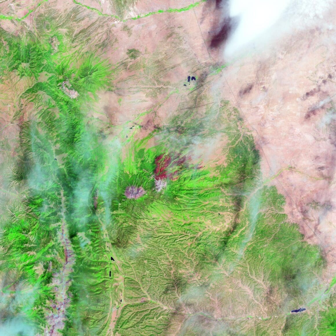
Additionally, the model aids in wildfire management by analyzing burn scars post-fire incidents, providing valuable data for recovery efforts. It uses the Multi-Temporal Cloud Gap Imputation method to reconstruct satellite imagery gaps caused by cloud cover, thereby offering clearer views of the Earth’s surface. This method benefits environmental monitoring and agricultural planning by improving data accuracy over time.
In the agricultural domain, the Multi-Temporal Crop Segmentation application of the model identifies crop types and patterns across the United States by layering time-sequenced satellite data with the U.S. Department of Agriculture’s resources. This capability enhances agricultural monitoring and resource management, supporting efforts toward sustainable farming practices.
Driven by user feedback, the model’s recent updates have broadened its applicability, encompassing tasks like landslide detection and biomass estimation. Rahul Ramachandran of NASA’s Marshall Space Flight Center highlighted the model’s expanded versatility and performance, ensuring its effectiveness in various environmental monitoring applications.
The development of the Prithvi Geospatial Foundation Model was part of NASA’s initiative to leverage its scientific data using AI. The model was crafted at the Jülich Wizard for European Leadership Science supercomputer, with collaboration from IBM Research and IEEE Geoscience and Remote Sensing Society, representing a noteworthy example of international scientific cooperation.
The expanded Prithvi Geospatial AI model stands as a testament to the power of collaboration and innovation in leveraging artificial intelligence for earth science applications. By integrating global data, NASA and its partners continue to pave the way for advancements that hold significant promise for economic and societal improvements.
Source: Science.nasa

