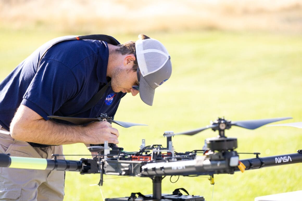
In August 2024, a group of NASA researchers and collaborators embarked on a mission in Missoula. Their goal? To push the boundaries of weather forecasting using drones. Wildfires are getting fiercer, and controlling them demands precise weather data. This innovative approach aims to refine predictions and enhance our response to these fiery threats.
NASA is taking the fight against wildfires to new heights, quite literally, with drones equipped with advanced sensors. These gizmos aren’t here to replace traditional tools but to complement them, providing more frequent and localized weather readings. The Missoula campaign marked a significant step forward, showing the potential of drones to revolutionize how we predict and combat wildfires.
The Need for Better Fire Forecasting
Wildfires are becoming more unpredictable due to erratic wind patterns. It poses a serious threat to public safety and wildlife. Current methods, like weather balloons, are helpful but often fall short in providing the pinpoint accuracy needed for fire management. Drones, with their ability to fly repeatedly over specific spots, offer a promising solution.
How Drones Enhance Weather Predictions
Unlike weather balloons, drones can be sent up multiple times, gathering real-time data crucial for firefighting decisions. This flexibility allows fire crews to make informed choices about resource deployment and community protection. Reusability is another benefit, reducing costs and environmental impacts. Drones, unlike disposable balloons, can be used over and over without adding waste.
NASA’s use of drones in the Missoula project tested two main sensors: the radiosonde and the anemometer. These tools, already familiar in the meteorological community, capture wind speed, direction, temperature, and more. By attaching them to drones, NASA aims to provide continuous, localized data that can make a real difference in managing fires.
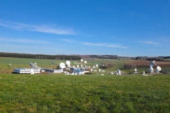
The Missoula Campaign’s Significant Role
NASA’s summer campaign in Missoula was a triumph of logistics and innovation. The team picked Missoula for its challenging conditions: unpredictable winds and sparse ground-based monitors.
During this campaign, NASA’s drone team flew numerous times over smokey skies, collecting vital weather data. University and college teams aided by launching weather balloons, allowing comparisons between traditional and modern methods. This cooperative effort expanded the data pool for more comprehensive analysis.
Visual data partnered with high-resolution models helped researchers and on-site commanders understand changing conditions better. The visuals, color-coded to signify wind speeds, made the data intuitive for non-specialists, illustrating the potential for improved decision-making in active fire zones.
Lessons Learned and Future Plans
The Missoula tests marked a milestone in the ongoing development of drone-assisted fire monitoring. This initiative builds on nearly a decade of research and development.
With the Missoula success, NASA plans to extend its efforts next to Alabama and Florida in 2025. The aim is to refine the technology further, ensuring it meets the needs of different regional fire management agencies.
Adapting technology to specific environments will be crucial for optimizing fire response. Each demonstration enhances our understanding, pushing boundaries in firefighting strategy and technology implementation.
From Ground to Sky: The Technology Behind It
The core innovation lies in combining traditional meteorological instruments with drones. Radiosondes and anemometers, though widely used, gain new capabilities when placed on drones. This combination allows for enhanced mobility and continuous data gathering.
The engineering challenge was to stabilize these sensors on drones without compromising their data collection. NASA achieved this by designing a structure that minimizes rotor interference while maintaining flight stability.
Challenges and Breakthroughs
NASA faced many hurdles, such as adapting existing tools for aerial deployment. However, each challenge met has paved the way for more robust solutions.
The development also highlighted the importance of adaptable technology that can integrate seamlessly with current tools like weather balloons. Many agencies use these tools, and drones need to fit into existing systems.
The Broader Impact of Drone Meteorology
Beyond firefighting, drones have the potential to transform meteorology as a whole. Their ability to provide specific, frequent data collection can benefit various weather-dependent industries.
NASA’s continued research and development are expected to broaden drone applications, pushing innovations further.
Data Visualization and Decision Making
Data from drones is only as useful as the insights it provides. Effective visualization techniques, as developed during the Missoula campaign, play a crucial role.
NASA’s partnerships with tech companies are paving the way for better data interpretation methods.
Conclusion: A New Era in Fire Management
NASA’s drone initiative shows new possibilities for micrometeorology, with exciting prospects in fire management. As drones continue to evolve, their potential applications grow.
The Missoula campaign’s momentum carries forward, promising further advancements in technology and methodology.
With drones taking flight, a new age of precise fire response emerges. This innovation ushers in ways to combat wildfires more efficiently.