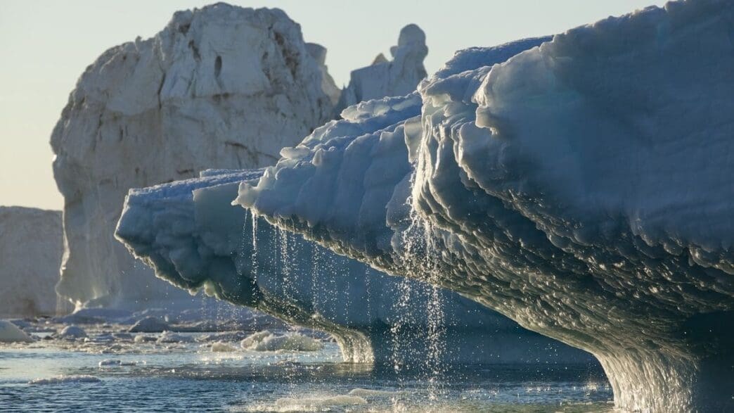
A new video from satellite data reveals significant ice loss on the Greenland Ice Sheet over the past 13 years.
A recent time-lapse video offers a dramatic glimpse into the rapid melting of the Greenland Ice Sheet, utilizing satellite data from NASA and the European Space Agency (ESA). This visual documentation spans from 2010 to 2023, showcasing a loss of 563 cubic miles (2,347 cubic kilometers) of ice—an amount equivalent to the volume of Lake Victoria, Africa’s largest lake.
The video illustrates distinct melting patterns, predominantly at the ice sheet’s edges, with the most severe melting occurring where glaciers meet the sea. According to the National Oceanic and Atmospheric Administration, the Greenland Ice Sheet has been steadily losing mass since 1998, contributing significantly to rising sea levels. It currently stands as the second-largest contributor to sea level rise, after the thermal expansion of seawater due to increasing global temperatures.
Published in the journal Geophysical Research Letters, the study highlights that this research effort was not just about measuring ice loss but also verifying the accuracy of different satellite measurement systems. ESA’s CryoSat-2 and NASA’s ICESat-2 use radar and laser techniques, respectively, to monitor these changes. Despite having different methodologies, these systems agreed within a 3% margin on elevation changes observed on the ice sheet, demonstrating their combined effectiveness in tracking such significant environmental shifts.
The ice sheet’s overall thinning averaged 3.9 feet (1.2 meters) across 13 years. However, this average masks substantial disparities across the region. Notably, the peripheral areas of the ice sheet experienced an average reduction of 21 feet (6.4 meters). Some outlet glaciers, like the Zachariae Isstrøm glacier, saw ice thickness diminish by as much as 246 feet (75 meters). These areas are depicted in the darkest shades of red in the video, indicating the most extreme ice losses.
Thorsten Markus, project scientist for the ICESat-2 mission at NASA, noted the collaborative success, stating, “It is great to see that the data from ‘sister missions’ are providing a consistent picture of the changes going on in Greenland.” The alignment of data from CryoSat-2 and ICESat-2, which have been orbiting along the same paths since 2020, underscores the importance of synchronized satellite missions in enhancing our understanding of climate impacts on polar ice masses.
The findings from this satellite data-driven study underscore the urgent need to address the accelerating ice loss in Greenland as it continues to influence global sea level rise.
Source: Space

