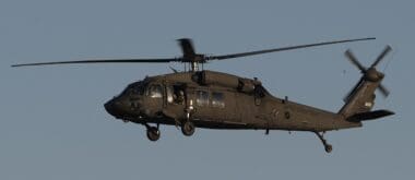

Recent evidence from ground-based radar suggests that an Army Black Hawk helicopter was flying higher than prescribed before colliding with an American Airlines jet over the Potomac River, raising crucial questions about the events leading to the tragedy.
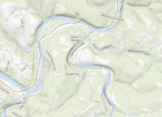
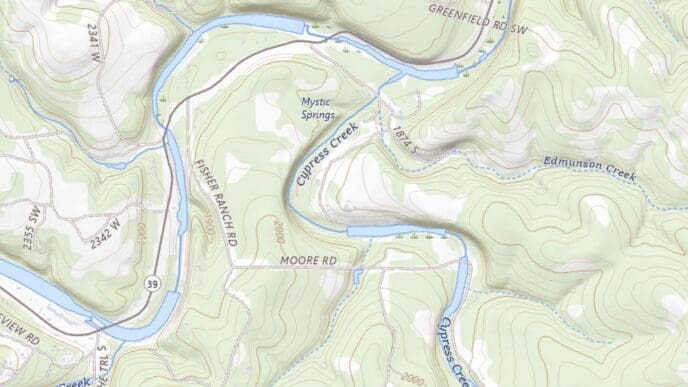
Ground-based radar data, released Tuesday, indicates that an Army helicopter was flying at approximately 300 feet when it collided with American Airlines Flight 5342 a week ago, resulting in the deaths of all 67 individuals on both aircraft. This information, described as the ‘best quality flight track data,’ was revealed by the National Transportation Safety Board (NTSB). However, the data, rounded to the nearest 100 feet, highlights a critical altitude breach, as the helicopter was restricted to a 200-foot limit according to Federal Aviation Administration (FAA) guidelines. Consequently, the FAA has suspended the use of similar routes indefinitely.
Despite this revelation, the NTSB acknowledges that ambiguity remains, as further data collection is ongoing to determine the helicopter’s precise position. Current work includes retrieving the helicopter wreckage from the water, a task expected to conclude next week.
Compounding the complexity, radar data from Reagan National Airport indicated a different altitude of 200 feet, contrasting with the flight data recorder of the involved Bombardier CRJ700 jet, which showed 325 feet. This discrepancy is yet to be clarified, and investigators have not provided immediate explanations. The NTSB has refrained from press briefings, and no officials have commented further on the issue.
In a related development, all flight recorders and cockpit voice data from both aircraft have been secured. The NTSB is diligently working to synchronize these recordings for transparency and accuracy. Board Chair Jennifer Homendy emphasized the importance of patience, noting, ‘Every piece of information is critical to the investigation.’ She underlined the dangers of prematurely concluding the cause of this significant air disaster, the most severe since 2001’s TWA Flight 800.
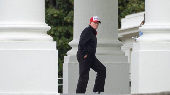
President Donald Trump, however, preempted the investigation’s findings, stating on social media that the helicopter ‘was flying too high, by a lot.’ He further commented, ‘It was far above the 200 foot limit.’
The radar data was collected by Potomac TRACON, responsible for coordinating aircraft movement around Washington, including major Virginia and Maryland airports. This facility utilizes multiple radar sensors and aircraft telemetry to track positions accurately.
As the investigation progresses, recovery efforts persist, with sleet and snow potentially complicating operations. The NTSB has successfully retrieved substantial portions of the jet, including significant components of the wings and tail. These are meticulously transported for examination as the search for the helicopter wreckage awaits completion of the jet’s recovery.
All 67 victims have been recovered, and preliminary findings on the crash cause are anticipated within 30 days, though final conclusions might take longer, with hopes for a swift resolution.
As investigators strive to piece together the sequence of events that led to this tragic midair collision, the newly uncovered radar data plays a crucial role in untangling the circumstances. Despite ongoing challenges and public speculation, methodical analysis of flight data and recovery efforts will be instrumental in uncovering the truth behind one of the most devastating air tragedies in recent memory.