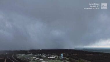
A dramatic shift in weather hit New York and Pennsylvania as cold air collided with the warm waters of Lake Erie, leading to a remarkable display of lake-effect snow. Drone footage captured this natural occurrence, highlighting its ability to quickly transform clear skies into intense whiteouts, affecting local areas dramatically.
The phenomenon of lake-effect snow occurs when cold air passes over a warmer body of water. This particular event saw the cold air sweep across Lake Erie, picking up moisture and creating heavy snowfall in New York and Pennsylvania. These conditions can cause abrupt changes in weather, making travel challenging and visibility significantly reduced.
Drone videos shared on social media platforms depicted the severe conditions, illustrating the rapid accumulation of snow and its impact on daily life. The white blanket covered roads and properties, creating picturesque yet paralyzing scenes across affected regions.
Residents experienced a swift transformation in weather, requiring them to adapt quickly to the evolving conditions. While some may view this snowfall as stunning, it brings practical challenges for transportation and public safety.
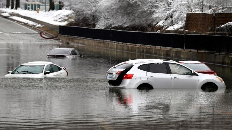
In areas like Erie, heavy snow buried vehicles and caused slowdowns on major routes. The quick onset of snow squalls surprised many drivers, underscoring the need for preparedness during such unpredictable weather patterns.
Meteorologists emphasize the powerful effect of lake-induced snowfalls, which can intensify with little warning. The interplay between cold air and warm lake waters serves as a reminder of the dynamic nature of regional climate influences.
The recent lake-effect snow event in New York and Pennsylvania serves as a powerful example of nature’s ability to rapidly alter conditions. As communities manage the immediate impacts, this event underscores the importance of staying informed and prepared during the winter season. The dramatic imagery captured via drone highlights the beauty and power of natural weather phenomena.

