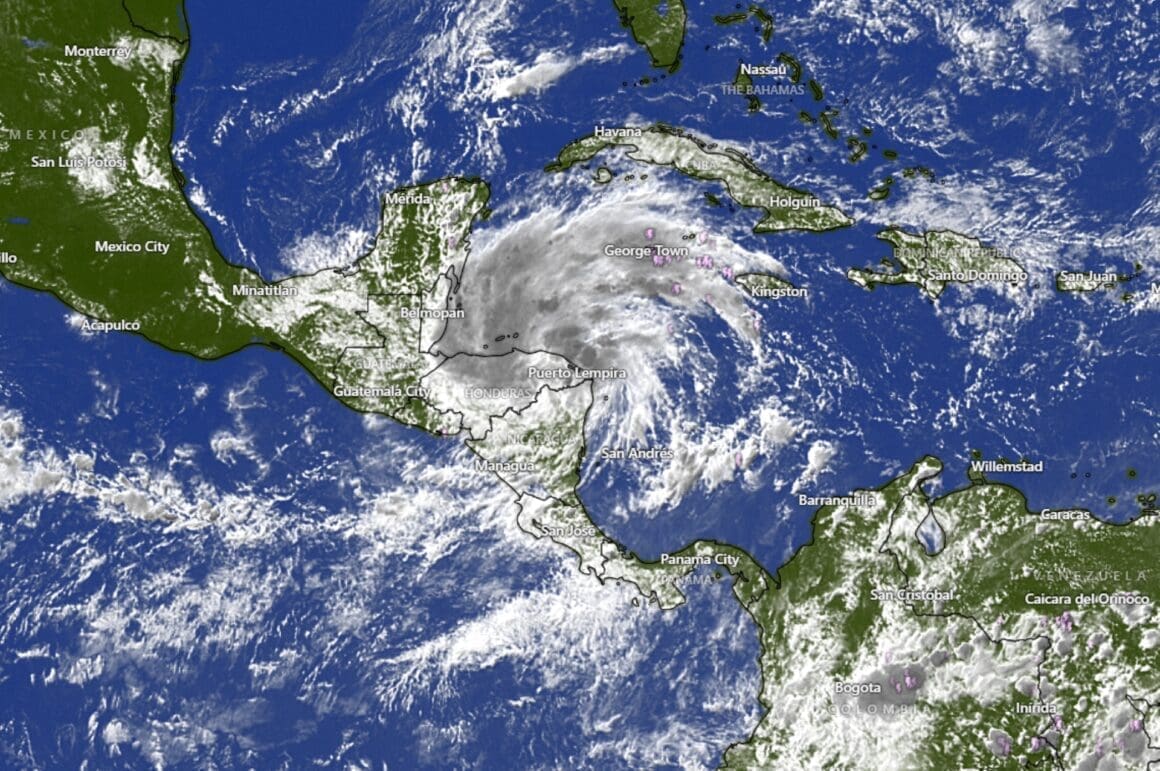
Tropical Storm Sarah has formed in the Caribbean, presenting potential challenges for Honduras and beyond. Satellite imagery shows the outer bands of the storm, initially identified as a tropical depression, gaining strength over time.
The storm, now officially named Tropical Storm Sarah, poses a significant weather event for regions in its path, particularly Honduras. Satellite imagery has provided clear visuals of the storm’s development, indicating its healthy formation. These visuals primarily showcase the cloud tops, as radar data is currently limited. Observers note that the longer Sarah remains over the Yucatan Peninsula, the lesser the immediate impact on surrounding areas due to the weakening of the storm’s intensity.
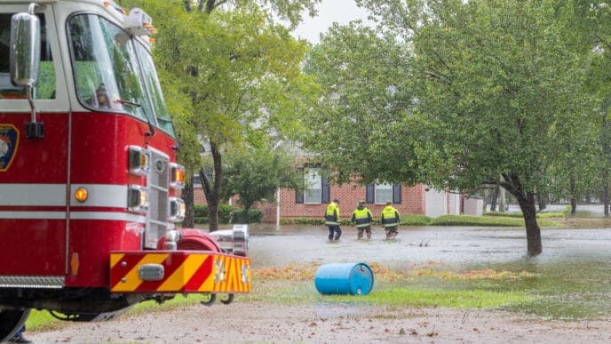
The primary concern for Honduras includes the risk of flooding and potential landslides as the storm progresses. However, once Tropical Storm Sarah crosses into the Yucatan Peninsula, a noticeable weakening occurs. This change in intensity is crucial in mitigating the level of disruption and damage anticipated for the regions affected.
As the storm moves into the Gulf of Mexico, predictions from the National Hurricane Center suggest it may regain strength to become a tropical storm once more, fueled by warmer waters in the central basin of the Gulf. Yet, along the coast where temperatures hover in the upper 70s, the cooler waters present a challenge for maintaining the storm’s structure.
Local weather experts remain vigilant, forecasting rain from the storm’s periphery to reach nearby areas by mid-week. The situation is being closely monitored both online and through broadcasting channels to keep communities informed of any developments.
The dynamics of tropical storms remain complex, and while uncertainties persist, the readiness and response from weather agencies aim to minimize risks and keep the public informed.
As Tropical Storm Sarah advances, the potential impacts on Honduras and surrounding areas are significant yet closely monitored. Authorities and weather experts are committed to providing updates as the storm’s path and intensity evolve, ensuring preparedness and safety for those in its trajectory.
Source: Youtube – 10 Tampa Bay


